Good morning Bay Islands. Yesterday we had a high of 90F (32C) and a heat index of 103F (39C) at the airport. That’s hot, but not quite as hot as the high of 94F (34C) and heat index of 110F (43 C) before the storm Monday night. Sea temps have also cooled a bit to just under 30C (86F), but the longer we go without rain, those temps will creep up again. And the rest of this week definitely looks dry and calm.
The following week looks quite a bit windier, with nighttime winds up to 25 mph and seas to 4 feet (1.3 meters). Next week we should have small chances of overnight showers.
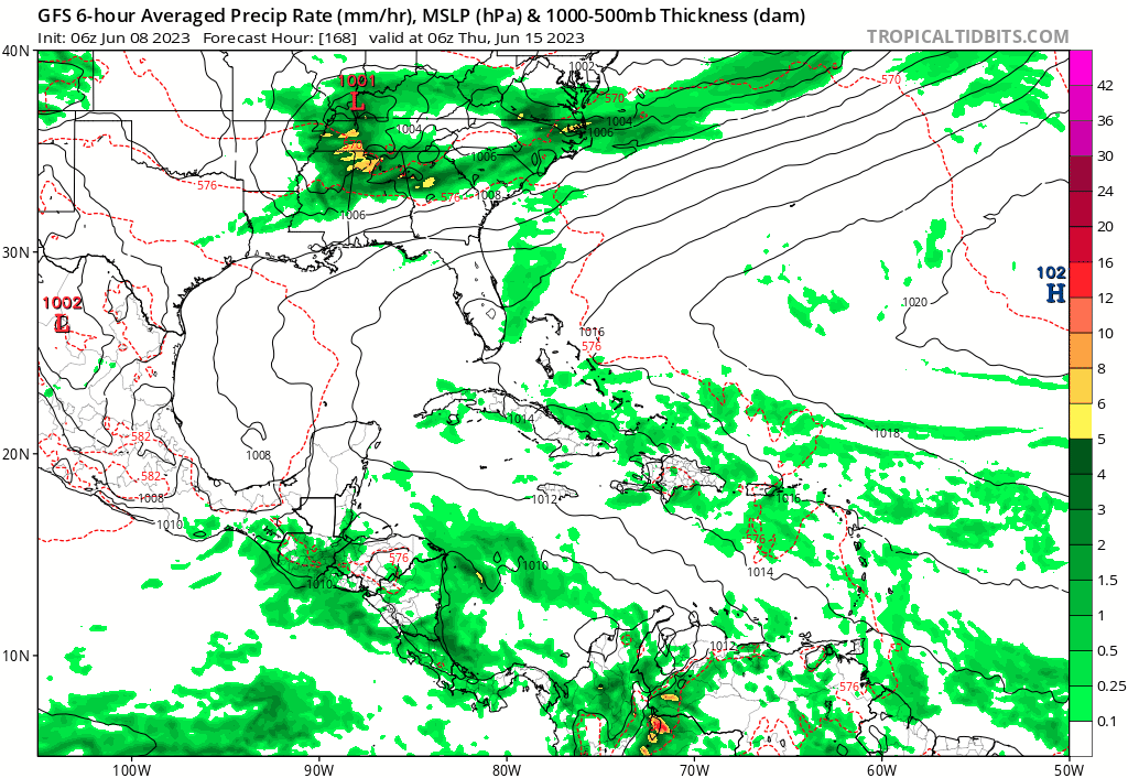
I’m including a forecast map of the weekend of the 17th, because the GFS is predicting a wave of moisture that weekend. It wants to spin a tropical system into the Gulf of Mexico after that, but for our purposes, we really hope this wave of moisture happens, because it would give us some much-needed relief. But it is a long way off and no forecast a week and a half out is very reliable. Have a great Thursday.
